SkyTracker
Liteye Systems SkyTracker is an RF-based drone detection and tracking system that passively identifies and geolocates UAS threats by analyzing their radio frequency emissions.
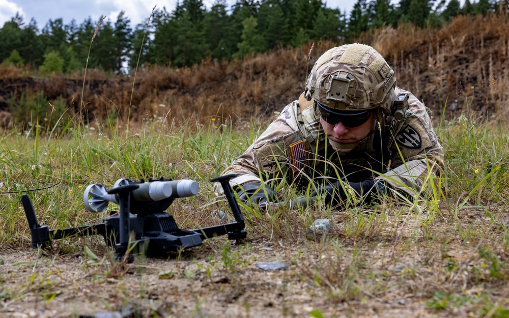
System Overview
What It Is
SkyTracker is a passive RF detection system developed by Liteye Systems that identifies drones by detecting and analyzing the radio frequency communications between a UAS and its operator. It can simultaneously geolocate both the drone and its ground controller.
How It Works
SkyTracker uses an array of RF antennas to passively scan the electromagnetic spectrum for known drone communication protocols. When it detects a signal matching its threat library of over 200 drone types, it triangulates the signal to determine the position of both the drone and its operator. The system provides this data to operators in real time and can cue other sensors or effectors for engagement.
Primary Capability
Passive RF detection, classification, and tracking of commercial and modified UAS threats.
Combat Record / Operational History
Widely deployed at US military installations domestically and overseas. Used by US Customs and Border Protection for border security operations.
Overview
Liteye Systems' SkyTracker is one of the most widely fielded passive RF drone detection systems in the US military inventory. By analyzing radio frequency emissions from commercial and modified drones, SkyTracker identifies, classifies, and tracks UAS threats while simultaneously geolocating the drone's operator on the ground. Its passive nature means it does not emit any signals that could reveal the location of defensive forces.
Development History
Liteye Systems, based in Centennial, Colorado, originally developed SkyTracker for the commercial security market before adapting it for military use. The system gained prominence when the US Army selected it as part of its initial counter-UAS toolkit in 2016-2017, deploying units to installations both domestically and in combat theaters. The system has been continuously updated with new drone signatures as the threat landscape evolves.
Operational Concept
SkyTracker operates as a passive sensor layer in a layered counter-UAS defense. Its RF antennas continuously scan the spectrum for signals matching known drone communication protocols. Upon detection, the system classifies the threat type and provides geolocation data for both the aircraft and its operator. This information can be used to cue active sensors like radars or EO/IR cameras for positive identification, or to direct effectors for engagement. In law enforcement applications, operator geolocation enables apprehension of the pilot.
Future Development
Liteye continues to expand SkyTracker's threat library and improve its signal processing algorithms to address emerging threats including drones using encrypted or non-standard communication protocols. Integration with AI-based classification engines and expanded frequency coverage are planned upgrades.
Technical Specifications
- Passive RF detection
- Detection range: 5+ km
- 360-degree azimuth coverage
- Drone and pilot geolocation
- Threat library with 200+ drone signatures
- Low size, weight, and power (SWaP)
Range
5+ km
Compatible Platforms
Deployed By
Key Features
- Passive detection leaves no electronic signature
- Simultaneous drone and pilot geolocation
- Extensive and updatable threat library
- Low power consumption
- Integrates with third-party effectors
Advantages
- No emissions that could reveal defensive positions
- Very low false alarm rate with protocol analysis
- Can locate the operator for law enforcement action
- Rapid deployment in portable configuration
Limitations
- Cannot detect autonomous drones without RF emissions
- Limited effectiveness against frequency-hopping spread spectrum
- Detection-only; requires separate effector
- Range limited by RF propagation environment